Marketing kiosk: rainfall station selection
- Role
- UX lead and developer
- Partners
- Marketing
- Scope
- Field kiosk and rainfall-station selection concept
- Status
- Kiosk shipped; proposed enhancement paused
- Outcome
- Field-tested over several years; proposed enhancement reframed existing data as privacy-aware decision support
 Agricorp developed an interactive kiosk to support customer conversations at agricultural events. Marketing brought forward ideas for tools and information that could help representatives engage visitors, and our team worked closely with them to turn those ideas into a field-ready product.
I led the kiosk’s user experience and development. We built it using the same methods we used for high-fidelity interactive prototypes, allowing us to create and refine tools without requiring a conventional application-development cycle. The resulting suite was deployed at events and used for several years.
Finding a more useful role for the kiosk
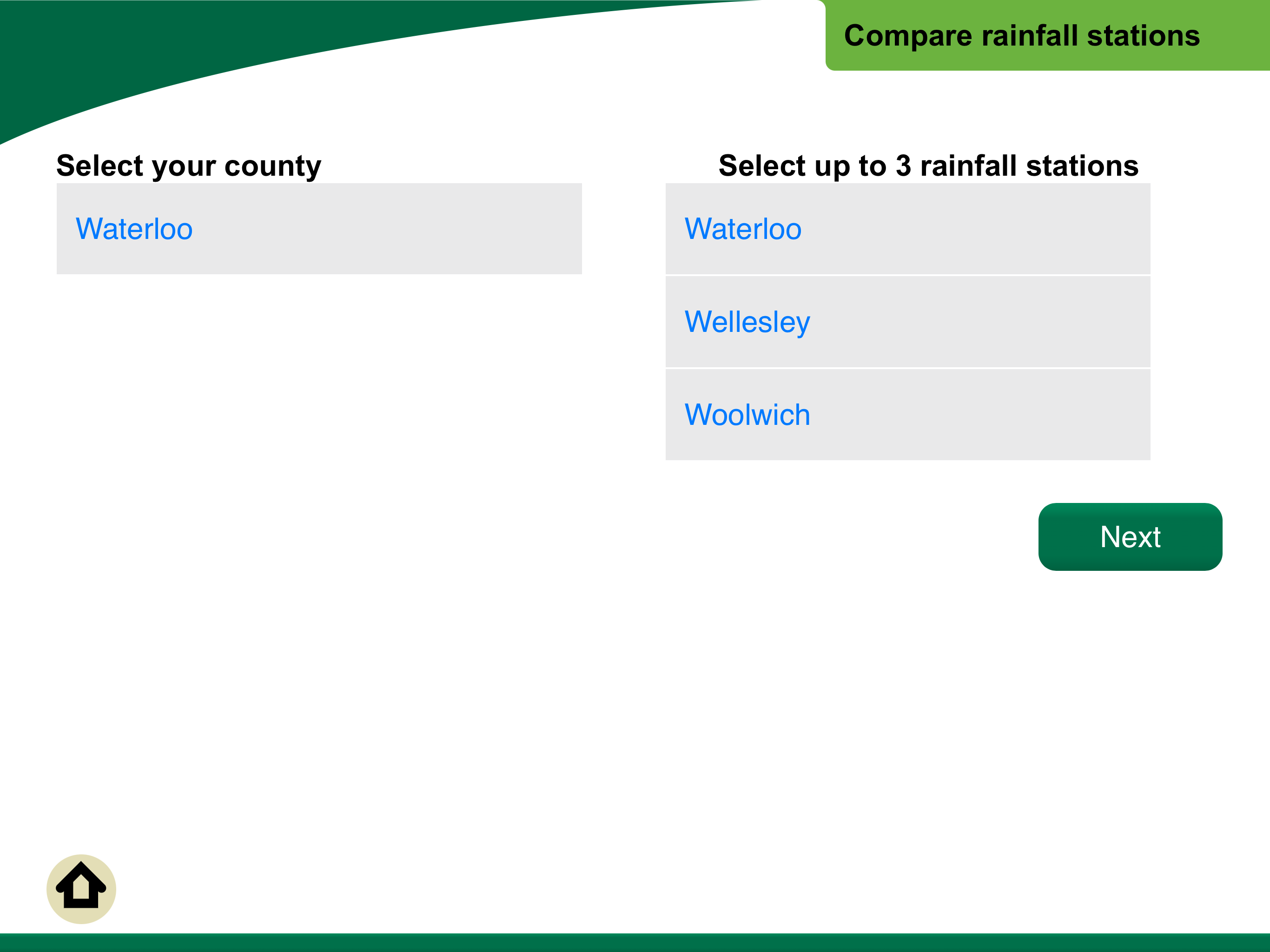
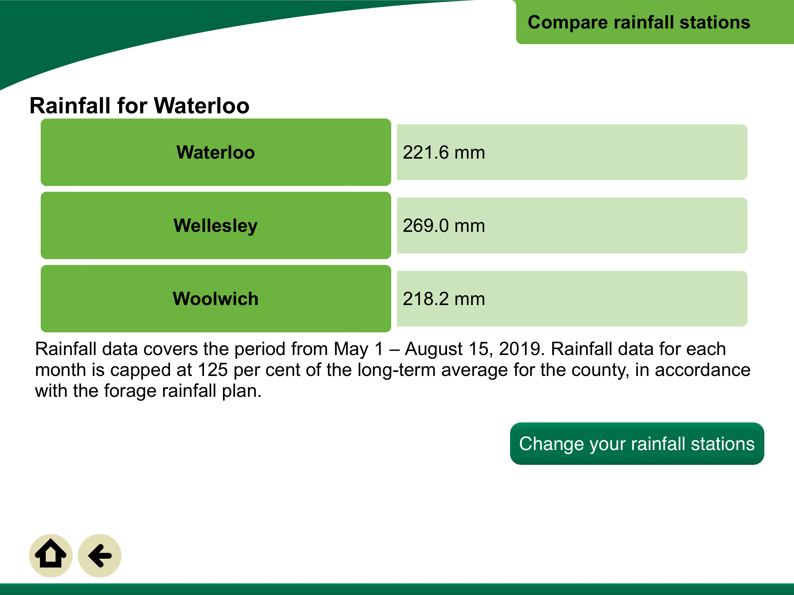
One module presented information about rainfall stations used for insurance coverage. Customers could select up to three stations, but the kiosk offered little meaningful help choosing them. Its information largely duplicated what was already available on Agricorp’s website.
The underlying data offered an opportunity to create something more useful. Agricorp knew the coordinates of each station, but their precise locations could not be disclosed because they were hosted on private property. Customers therefore had to choose from station names describing broad geographic areas without knowing which ones were closest to their farms.
The design challenge was not simply displaying more data. It was helping customers use protected location data without revealing it.
Turning information into decision support

The existing rainfall module made information available, but did little to help customers act on it. Customers could find essentially the same station information on Agricorp’s website, while still having little meaningful basis for choosing the three stations used for their coverage.
I proposed changing the kiosk’s role from an information-sharing tool into a decision-making tool. Agricorp knew the coordinates of each station, but their precise locations could not be disclosed because the stations were hosted on private property.
The design challenge was therefore not how to display more data. It was how to use protected location data to help customers make a better choice without revealing it.
Responding to a changing programme
The proposal was well received, but government priorities were changing. A new agricultural funding framework supported experiments with alternative ways of collecting rainfall data, including drone-based approaches. If those methods proved successful, the existing station network—and the selection problem the proposal addressed—could become less relevant.
Further investment in the module was therefore paused. The kiosk itself remained in use at agricultural events for several years, but the rainfall-station concept was not implemented.
The proposal still demonstrates an important part of my design practice: finding ways to make constrained data useful, framing privacy as a design requirement, and recognizing when changes to the underlying service make further product investment premature.